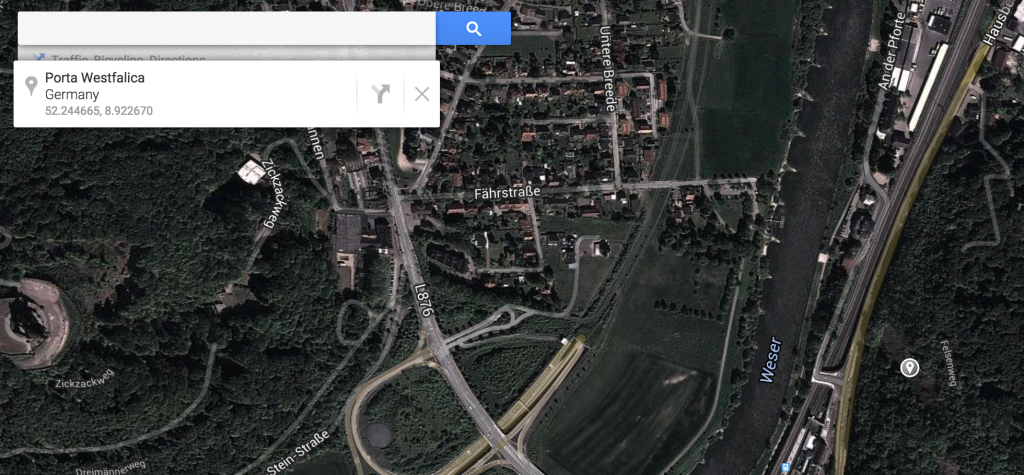
I needed to get the latitude and longitude of several places for the GIS project. I used Google Maps to get the data. Just click on a point on the map and the info box shows you the lat/long.
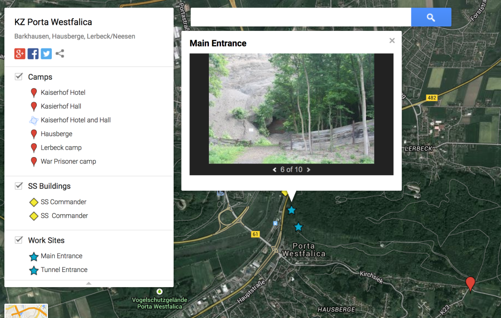
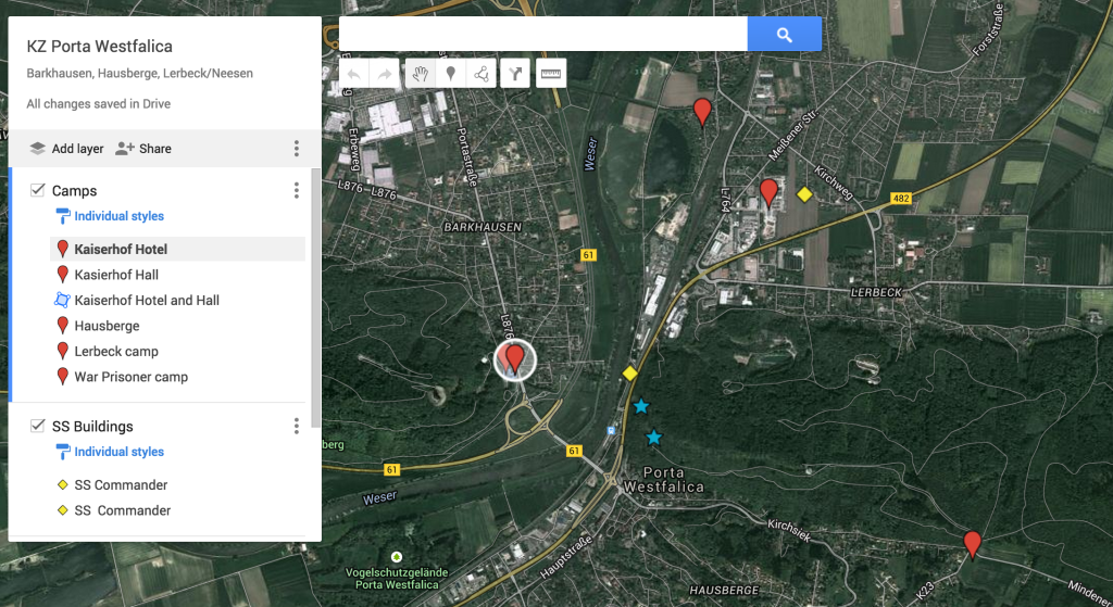
While playing with this, I figured I’d make a more permanent map showing some of the important locations. That map is found here:
https://www.google.com/maps/d/edit?mid=zuMewFpePmAg.kUArQ9EReKT4
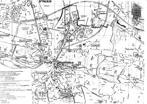
I was able to find the locations with the help of a couple of maps I found in archives.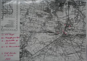
The nice thing about the Google map is that it can attache photos of the points I marked (as seen in the first, feature, image).
Ammon, do you have an updated link for the Map of KZ Porta Westfalica?
I am no longer working on this.
Your best bet is to contact the KZ Gedenk- and Dokumentationsstaette Porta Westfalica.
https://www.gedenkstaette-porta.de/