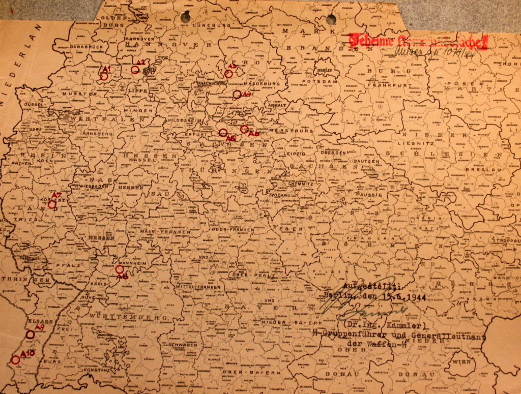
I have been reading up on Geographical Information Systems/Sciences. There seem to be a number of flavors of combining history with maps and geographical data and methodologies. The various terms I have run across are Historical GIS, historical geography, cultural geography, spatial history or spatial humanities.
Here are the list of books I would like to tackle, with the first two being the most important for my research.
- Knowles, Anne Kelly, Tim Cole, and Alberto Giordano. Geographies of the Holocaust. Bloomington: Indiana University Press, 2014.
- Gregory, Ian, and Paul S Ell. Historical GIS: Technologies, Methodologies, and Scholarship. Cambridge; New York: Cambridge University Press, 2007.
- Black, Jeremy. Maps and History: Constructing Images of the Past. New Haven: Yale University Press, 1997.
- Bodenhamer, David J., John Corrigan, and Trevor M. Harris. The Spatial Humanities: GIS and the Future of Humanities Scholarship. Bloomington: Indiana University Press, 2010.
- Daniels, Stephen, Dydia DeLyser, J. Nicholas Entrikin, and Doug Richardson. Envisioning Landscapes, Making Worlds: Geography and the Humanities. Milton Park, Abingdon, Oxon ; New York: Routledge, 2011.
- Dear, Michael J. Geohumanities: Art, History and Text at the Edge of Place. London: Routledge, 2011.
- Gaddis, John Lewis. The Landscape of History: How Historians Map the Past. Oxford: Oxford University Press, 2002.
- Hillier, Amy, and Anne Kelly Knowles. Placing History: How Maps, Spatial Data, and GIS Are Changing Historical Scholarship. Redlands, Calif: ESRI Press, 2008.
- Knowles, Anne Kelly, and Amy Hillier. Placing History: How Maps, Spatial Data, and GIS Are Changing Historical Scholarship. Pap/Cdr. ESRI Press, 2008.
- Pickles, John. A History of Spaces: Cartographic Reason, Mapping, and the Geo-Coded World. London: Routledge, 2004.
I also started working through some of the interviews to pull out locations. This required me to first figure out what I was looking for. I decided to look for eight specific “locations” and map those on a map of the camp. My goal is to see if where these events happen influence why they happen. Or if there is any correlation or outliers after mapping the data.
I had a neat idea while reading one book: visualize what people knew geographically during a certain time. So the map represents the lands and info that a person/people knew about. Say a person from 1820’s England. Their “map” of the world would include Europe, eastern US, maybe a few other countries, but exclude Antarctica?, Irabian peninsula?, Madagascar?, Thailand?, India?
